


UPDATE: 6 p.m. The severe thunderstorm watch has been upgraded to a warning for:
- Brazeau Co. near Drayton Valley and Breton
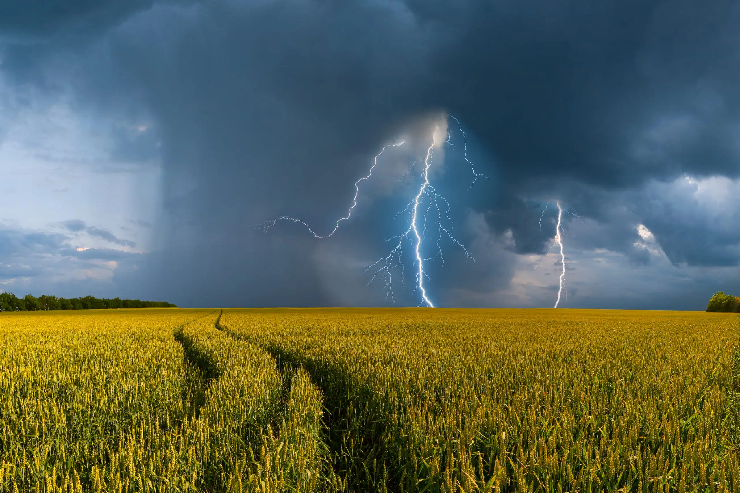
At 5:12 p.m. MDT, Environment Canada meteorologists are tracking a cluster of severe thunderstorms capable of producing very strong wind gusts, toonie to ping pong ball size hail and heavy rain.
This cluster of severe thunderstorms is located near Tomahawk and is moving northeast at 20 km/h.
Take cover immediately, if threatening weather approaches. Large hail can damage property and cause injury. Lightning kills and injures Canadians every year. Remember, when thunder roars, go indoors!
The original weather alert follows.
Keep those umbrellas at the ready. A severe thunderstorm watch has been issued for:
- Brazeau Co. near Drayton Valley and Breton
- Co. of Wetaskiwin near Alder Flats and Winfield
- Co. of Wetaskiwin near Pigeon Lake
- Leduc Co. near Calmar and Devon
- Leduc Co. near Warburg Thorsby and Pigeon Lake
- Ponoka Co. near Crestomere
- Ponoka Co. near Rimbey Bluffton and Hoadley
Environment Canada says conditions are favourable for the development of dangerous thunderstorms that may be capable of producing damaging wind gusts, damaging hail and heavy rain.
Thunderstorms are expected over much of southern and central Alberta today. Some of these thunderstorms will become severe.
Environment Canada warns that very large hail can damage property, break windows, dent vehicles and cause serious injury. Very strong wind gusts can damage buildings, down trees and blow large vehicles off the road. Remember, severe thunderstorms can produce tornadoes. Lightning kills and injures Canadians every year. Remember, when thunder roars, go indoors!
Severe thunderstorm watches are issued when atmospheric conditions are favourable for the development of thunderstorms that could produce one or more of the following: large hail, damaging winds, torrential rainfall.
You can stay up-to-date with Environment Canada’s weather warning for the area at the Environment Canada website.


Comments